Accomplished a lot today. First, wanted to test out the knee. I took it pretty easy this week & I didn't really experience any soreness today, good. Second, I knew it was going to be warm/hot today so a little acclimation to the heat was in order. Third, wanted to get some sun so future exposure won't be so dramatic. Check, check, check. I realized about 20 miles in that I'd forgotten to start Strava, so no map. Plan was to head for Northbend. Wind was billed as straight North in the teens so I was going to go right up the gut. Turns out the windiest part of the day was right when I was heading North bound (mid morning), mix that with deep gravel at times & I had to work my ass off to get as far North as I got.
Last year I rode by this corner (Rd 26 & H Rd.) & said I'll have to check that out sometime. How about today? "No outlet" can't apply to me, right? Lets find out...

Since I had the camera out, new
WarAxe hi-boys. Thanks Skip! These socks have a Trans Iowa under their belt...

Ok..."no outlet" did apply to me:( I made it about a 1/2 mile & got stopped by this ghost-farm. I hiked & explored for about 10 minutes but couldn't find an exit because the area was beyond overgrown. This barn picture is pretty sweet but would have been even better if I could have captured the enormous turkey vulture that had been perched on the peak when I rolled up on it.

Anyway...I had to backtrack, I hate backtracking. Hate it. I was rapidly losing interest in traveling all the way to Northbend. I altered my plan to at least make it to the 4-way dirt intersection I rolled through last year. Rd 26 & P Rd, about 5 -6 miles North of Hwy 92. Picture doesn't really capture the 4-way-ness of the intersection, whatever. Does capture how awesome the day was though.

Hi!

The Bavarian Alps don't disappoint, there's some hills up here. Water became an issue & my focus turned to getting to Brainard. I had a general idea how to get there from where I was but was a bit fuzzy on how far. Ended up being further than I thought & I rolled into town on empty, fluid-wise that is...

Lots of long B Rd. sections, all in excellent shape. I don't think I saw a rut all day...

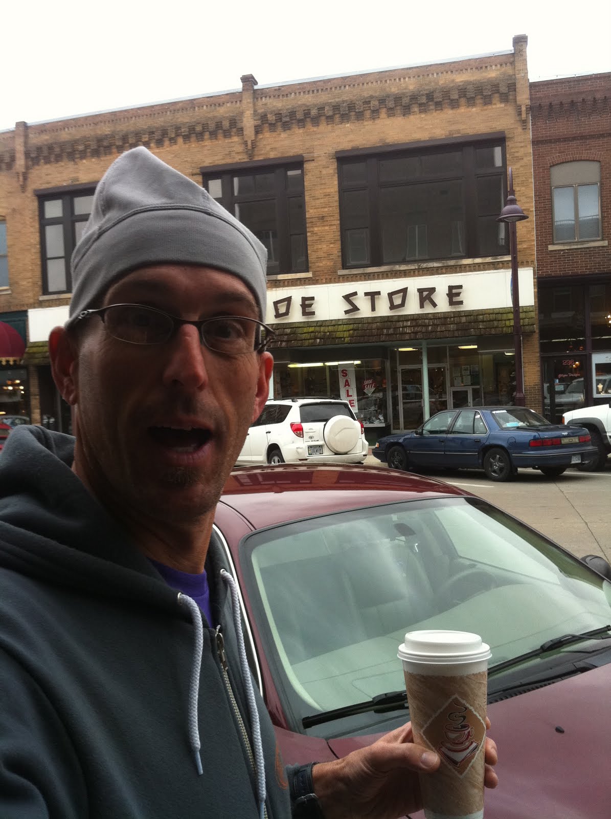
Ahhhh, the refuel...

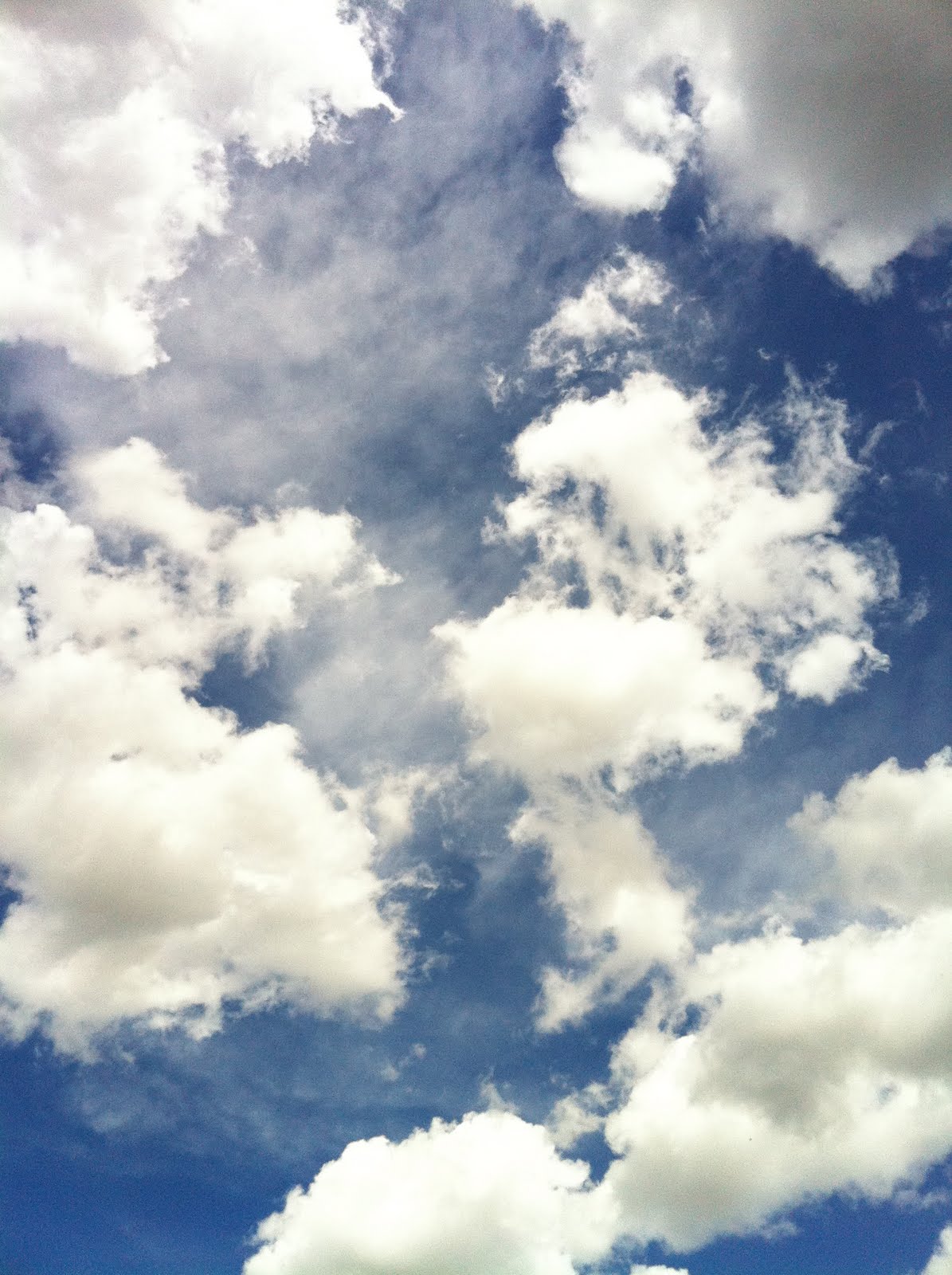
Bank thermometer said 77 degrees, what a day!

Took the Oak Creek trail to Valpo, hard packed & fast. Ran in to Falloon (my vet) as I was leaving Valpo. He's was on the front end of a hundee, I was on the back end.
It was a good day...
Later,
TK
 It made me smile...
 We've been in a rainy pattern of late around here, I've been riding my road bike for over a week. Not that gravel has been completely unrideable but just something different. Rolled with MT & wood-nuts both Saturday & Sunday on the skinnies...
 Sunday was a wet one...
 Sunday night was perfection for outdoor activities, thanks to Jim & Jan for the hospitality. Temp was ideal & the bugs hadn't begun there summer annoyance...
 oh yeah, kickin-it...
 Had lots to do in the lab yesterday, finished the session with a new signature crimp...
 DK this weekend...


